Listen to this article
Take the story with you. Choose a voice and a pace that suits you.
Or listen in another language / choose a voice
Getting your device voices ready…
The voice follows the displayed language and your browser’s regional preference when available. You can choose another narration voice.
San Francisco atmospheric river flooding turned streets into standing water on Wednesday, 18 November 2026, after a storm dropped 2.28 inches of rain downtown by mid-afternoon, breaking the daily record of 2.24 inches set in 1918. Downed trees, power outages, landslides and flight delays were reported across the Bay Area as the rain kept coming. Information verified through 19 November 2026.
This was not a passing shower. The system was described as California’s first major atmospheric river event of the El Niño winter season, carrying moisture equivalent to the Mississippi River. For a region of about 7.7 million people, the effects stacked up fast: flooded highways, barricaded streets, and water pushing up out of drains instead of down them.
San Francisco atmospheric river flooding and Bay Area record rainfall November 2026, street by street
The National Weather Service Bay Area office warned of heavy rain, burn-scar flash flooding and urban flooding in its 18 November forecast discussion. Its regional totals ran from 1 to 2 inches in rain-shadowed valleys to 3 to 5 inches in the Santa Cruz Mountains, with 1.5 to 2.5 inches for much of the rest of the Bay Area.
San Francisco sat near the top of that range, and the city felt it at ground level. Reporting from the Outer Sunset described a flooded apartment, while officials reported a record surge in 911 calls and localised urban flooding, with sandbags handed out and residents urged to avoid flooded roads.
You could see the strain at the airport too. The storm prompted travel disruption and delays at San Francisco International Airport, and in Southern California the same system forced a different kind of warning, covered in the next section.
A combined system and the San Francisco sewer overflow storm
San Francisco does not separate its sewers from its storm drains. Its combined system is designed to release excess flow — a mix of stormwater and raw sewage — into the Pacific Ocean when pipes and treatment plants are overloaded.
That design held, up to a point. On Wednesday the volume went past it. Water backed up into homes, businesses and streets in some areas, a San Francisco sewer overflow storm in the plainest sense: rain the system could not move fast enough, arriving in hours rather than days.
Surfers were warned off the water. Contaminated runoff changes the calculation after a storm like this, and the advice in local reporting was blunt — stay out in the coming days.
Waterspouts, a tornado warning, and hazards that outlast the rain
The oddest images came from the Bay itself. Observers and National Weather Service meteorologists confirmed two waterspouts over San Francisco Bay near Candlestick Point on Monday, with no reported injuries or damage. NOAA records show no waterspouts in the Bay for roughly 25 to 28 years, according to that summary.
A tornado warning was also issued for parts of Santa Cruz County after radar showed rotation near Ben Lomond, though the National Weather Service has not confirmed a touchdown.
Coastal hazards ran on a longer clock than the rain. The High Surf Advisory ran through 4 a.m. on Friday, 20 November, and the Coastal Flood Advisory through 10 a.m. Friday, with breaking waves of 18 to 24 feet and up to 30 feet at favoured spots. Swimmers were told to stay out of the water and people to keep off jetties and piers.
California El Niño storm flooding reaches the burn scars
South of the Bay, the worry shifted to hillsides that burned not long ago. Los Angeles County issued evacuation warnings from 6 p.m. on 18 November through 8 a.m. on 20 November for residents near six burn scars, including Eaton, Palisades, Sunset, Kenneth, Hurst and Canyon. The county fire department warned that flooding or debris flows could make roads impassable with little or no warning.
Freight felt it as well. Highway 1 saw a 74-kilometre closure between Nepenthe and Ragged Point, and Interstate 80 faced severe restrictions from snow. Power outages were reported for 4,500 customers in Oakland and 3,000 in Hayward.
There was a newer hazard in the warnings, too. Fire Chief Dean Crispen and Mayor Daniel Lurie urged EV and e-bike owners to keep machines out of saltwater floodwater, warning that salt can trigger battery fires hours or days later through delayed thermal runaway. A flooded bike, in other words, is not safe just because it has dried.
Analysis: One record day does not prove a new climate pattern on its own. What Wednesday showed, plainly, was capacity — a combined sewer built for a different rainfall rhythm, burn scars that turn rain into debris risk, and coastal advisories that keep running after the clouds thin. Forecasters expect the rain to taper, pause on Friday, and return in lighter form, with another system possible around 24 or 25 November. The test for the city is less the next shower than the next six-hour deluge.
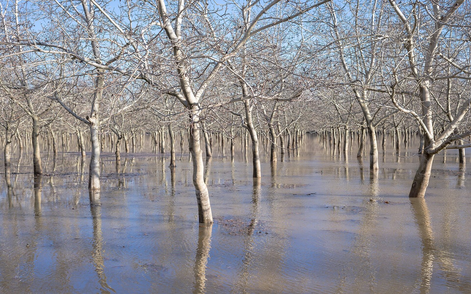
Photo: Frank Schulenburg, via Wikimedia Commons (CC BY-SA 4.0)
Sources
- https://www.surfer.com/news/san-francisco-flooding-record-rain-sewage-overflow
- https://wsnext.com/b2bdd86-Severe-weather-Supply-chain/
- https://kellyoh.com/en/san-francisco-weather-rain-wind-november-2026/
- https://particle.news/story/tornado-warning-and-twin-waterspouts-highlight-rare-bay-area-storm
- https://focalnews.org/san-francisco-ca/local/sf-fire-chief-warns-ev-and-e-bike-owners-saltwater-floodwaters-can-trigger-delayed-battery-fires
Leave a comment
Comment as a guest and verify your email, or sign in or create a reader account. Guest comments reach our review queue after email verification; account holders can submit directly for review.